Dixville Notch and Diamond Peaks

Hiked the trails around Dixville Notch on saturday 11/14/2015. It was a cold, windy and snowy day so I didn’t bring my camera. They were plowing and salting the road through the notch as it was accumulating and was slippery. Fortunately there wasn’t any ice on the trails and we only had snow and wet leaves to contend with and that was enough. We started on the Sanguinary Ridge trail which if it wasn’t snowing would have had great views. That left us at the main entrance to the currently not open Balsams Resort where we went up the very steep and rocky Table Rock trail where there also would be great views on a better day. We then took the Three Brothers and Huntington Cascade trails back to where we had started. It was actually quite pleasant to be out hiking in snow and not having to keep swatting at bugs.

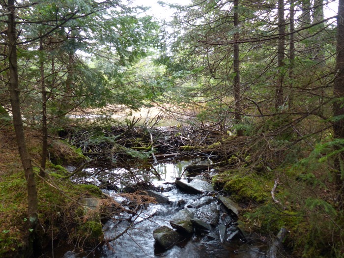
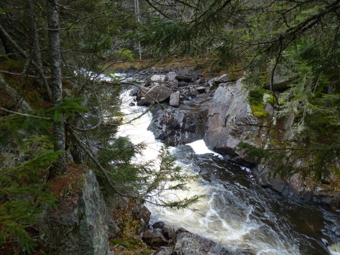
After completing these trails I drove over to Errol and took Route 16 north to Dead Diamond Road which goes into the Second College Grant. This is owned by Dartmouth College. The road is gated so you have to walk in 2.2 miles on the road to get to the trailhead. The trail itself is only 1.1 miles so you end up walking 6.6 miles of trail and road for 1.1 miles of redlining. The road walk isn’t too bad as you pass through a large beaver swamp and their are also good views of some nice falls and rapids on the Dead Diamond River. The trail is fairly easy and takes you up to some spectacular cliffs where Peregrine Falcons nest in the spring. The trail is sometimes closed due to there nesting which is why I wanted to do this hike this fall.

Trails completed; Sanguinary Ridge 1.7 miles, Table Rock, 1 mile, 3 Brothers 1 mile, Huntington Cascade .5 miles and Diamond Peaks 1.1 miles. Only 73.4 miles to complete.

Mountain Pond

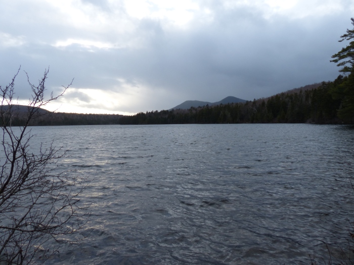
Hiked this short loop trail on Friday afternoon 11/13/2015. I was going to a Mount Washington Observatory Volunteer Appreciation event so  thought I would get a hike in before the event. The Mountain Pond trail is off Slippery Brook Road in the town of Jackson. It’s a short hike that for most of its route follows the shoreline of the pond. It was a cold, windy and wet day so I didn’t linger long looking around and I had pizza waiting for me at the volunteer event.

A faint rainbow at the end of the pond
Mountain Pond Shelter
Shower aproaching the pond
Shower approaching the pond

It was a nice quick hike and there are only 78.7 miles left.

More Hikes in Evans Notch

Did two separate hikes in Evans Notch on 11/5/2015. It was a very warm day for November, temps in the mid 60s. I was very quickly hiking in just shorts and a T-shirt. There were bright blue skies and very little wind. The first hike was up the Laughing Lion trail which is quite steep and was also pretty slippery with lots of new fallen dry leaves. The leaves also hid holes between rocks so you had to be pretty careful where you stepped.

View from Laughing Lion trail with fog in the valleys

After the Laughing Lion trail I continued up the Royce trail, which I had hiked previously to the East Royce Connector to the East Royce Trail to the summit of East Royce. There were great views from the summit of East Royce which is slightly higher than 3000 feet in elevation.

View towards the Presidential range from East Royce
View towards the Presidential Range from East Royce
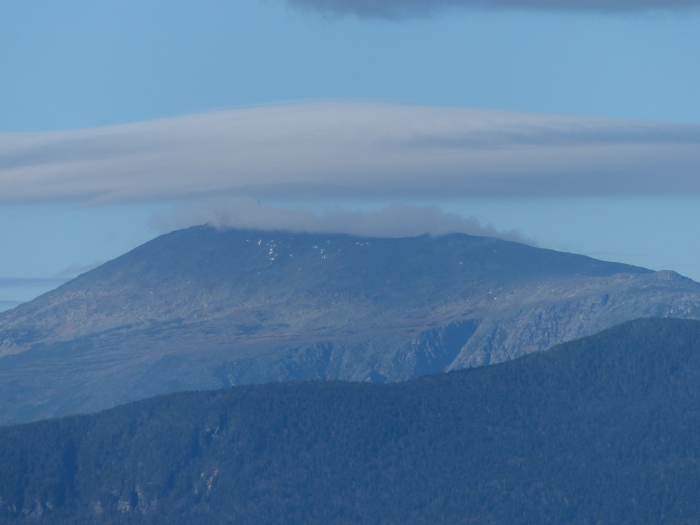
Washington with a cloud perched on the summit

After the summit I hiked all the way down to the road and then about 1 mile along the road to get back to the car. That completed hike number 1 for the day. Drove to the parking for the Baldface Circle trail and hiked up to the Junction with the Slippery Brook trail which I followed to the height of land and junction with the Eastman Peak trail. The Slippery Brook trail was also covered with dry leaves which made it difficult in a few places to follow the trail and also covered up some of the holes and mud pits. There were very good views from the summit of Eastman Peak.

South Baldface from the summit of Eastman Peak
Carter Dome and Mt. Hight from Eastman Peak
East and West Royce from Eastman Peak

After enjoying the views I walked back down to the junction with the Baldface Circle trail and went up to the Chandler Gorge Loop trail. It was getting late and was dark in the Gorge but looks like a good place to visit in the summer.

The top of Chandler Gorge

Walked back to the parking lot and got there just as it was getting pretty dark and almost needing a headlamp.

Trails hiked;

Laughing Lion  1.1 miles, East Royce Connector .2 miles, East Royce 1.3 miles, Slippery Brook .6 miles, Eastman Peak .8 miles and Chandler Gorge .5 miles and then there were several miles that didn’t count as I had already hiked them. Only 81.1 miles left.


Trails way up north

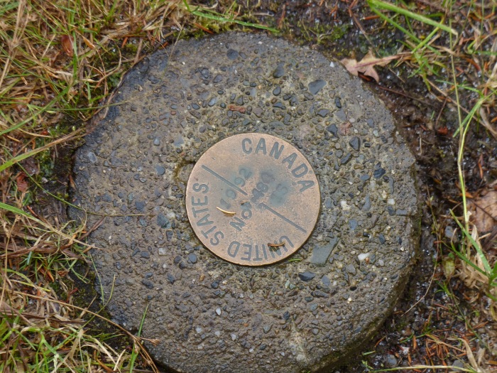
This was a trip to hike some of the trails that I had put off doing for a long time because they were so far away. My wife, Amantha, joined me on this trip to help with some of the logistics. We drove up Saturday afternoon on 10/31/15 to Lancaster, NH and spent the night there. We then got up early on Sunday and drove up to the Canadian border to hike the Fourth Connecticut Lake trail. It took us an hour and 40 minutes of driving to get there from Lancaster which many people would consider to be at the end of the earth. The trail follows the actual border for about 7 tenths of a mile before heading to the lake. The weather was predicted to be cloudy with a chance of showers. It pretty much showered all day with temps in the 30s. Not a great day for hiking.

Fourth Connecticut Lake Trail following the international boundary
Boudary marker
Boundary marker

After turning off the border it was a pleasant trail that circled the small lake which is the headwaters of the Connecticut River.

Fourth Connecticut Lake
Start of the Connecticut River

After completing this trail we drove a few miles south where Amantha dropped me off at one end of the Falls in the River trail and then she drove 2 miles to the other end to wait for me. Since it was raining fairly hard at the time, she didn’t mind missing out on the hike.

Trail sign with letters nailed on
Falls in the River
Falls in the River

This was a nice hike that would have better on a dry day with the sun out. The falls were pretty spectacular especially since there had been recent rain.

We then drove a little further south to the Magalloway Road which is the main logging road through the forest. It gets a lot of traffic and is in pretty good shape for a  dirt logging road. We turned off it following the directions in the guide book and the road got progressively smaller until we got to the end where the trail for Mt. Magalloway started. This a fairly steep trail that goes to the summit where there is a firetower with good views if you were there on a good day. I didn’t bring my camera as it was raining and the summit was in the clouds. Took a different trail down that ended up at the same trailhead. There weren’t any signs so you pretty much need the guide book to figure out what to do.

We then backtracked to the main logging road and went about 7 miles further to get to Garfield Falls. This a short hike that we both went on and the falls were running pretty fast.

Garfield Falls
Garfield Falls

Garfield Falls was the last planned hike for the day but we got brave and followed the main road further instead of going back to Rt 3 in Pittsburg. We ended up on Rt  16 north of Errol. Following Rt 16 south we came to the Magalloway River trail which is a short handicapped accessible trail in the Umbagog National Wildlife Refuge. It is short but is on the list of trails to complete. Hiked 6.7 miles of trail for the day and have 87.7 miles left to complete.

Cherry Mountain and Owls Head

Since I won’t be hiking another “Grid over 60” peak until next July I thought I would add posts of my final 100 miles of redlining which will also finish in July of next year. Redlining is hiking all of the trails that are in the AMC White Mountain Guide. You get to pick which edition of the Guide you are using. I am using the 29th edition, which is the latest edition. There are 1439.6 miles of trails in the 29th Edition and I have currently 103.1 miles left to complete.


Bill Cronin and I set out to hike Cherry Mountain and Owls Head and all of the associated trails on 10/27/15. It was a perfect day for hiking with bright blue skies and cool temperatures. We left one car at the Owls Head trail on Rt 115 in Jefferson and then went up Cherry Mountain Road to the Cherry Mountain trailhead. This was a nice wide trail that was also a snowmobile trail. We took the summit spur to the top of  Cherry Mountain where there were excellent views. The Cherry Mountain trail continues down to Rt 115 but we stayed up high to go over to Owls Head.

Presidentail Range from Cherry Mountain
Presidential Range from Cherry Mountain


Franconia Ridge from Cherry Mountain

Leaving the summit of Cherry Mountain we took the Martha’s Mile Trail over to Owls Head. There were also good views from Owls Head.

Mt. Washington from Owls Head

This Owls Head is not the same Owls Head that is a 4000 foot peak. From the summit we took the trail down to the trailhead on Rt 115. We then drove up Cherry Mountain Road and retrieved Bill’s car. He went off to do some redlining and I drove back to Rt 115 to the other end of the Cherry Mountain Trail and hiked up to the junction with the Summit Spur Trail. Bill had already completed this part of the trail. It was much steeper than the approach from the other side but still not all that difficult. There was one nice little spring at the side of the trail.

Spring on the side of the trail

Completed 8.7 miles of trail and only have 94.4 miles left.