Gore and Blue

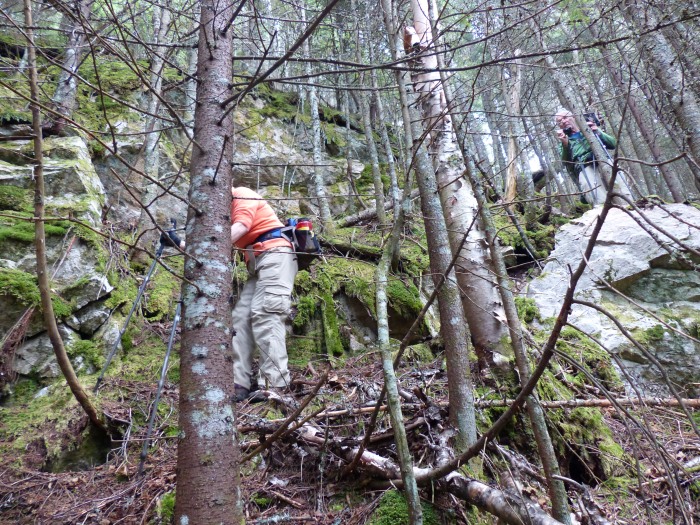
Hiked Gore and Blue on 10/30/16 with Bill Schor. Weather was cloudy with a occaisonal shower with temps in the high 30s to low 40s. We drove in on old logging roads until we came to a gate for the entrance into the Vicky Bunnell Preserve which is owned by The Nature Conservancy. The Preserve is about 10,000 acres and abuts other conserved land.
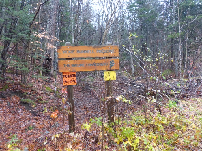
Vicky Bunnell Preserve

We walked more than a mile along the old logging road until we came to an area of beaver dams and I actually saw a beaver, first one in a very long time. The dams weren’t very tall and the ponds behind them weren’t very big and were quite shallow. Maybe they just used them to get to food as I didn’t see any lodges.

Beaver dam with a few fresh sticks
Beaver
Beaver

After crossing over the beaver dams we continued up the logging road with snow gradually getting deeper but not a problem. We found evidence of recent bear activity with some pretty large foot prints.
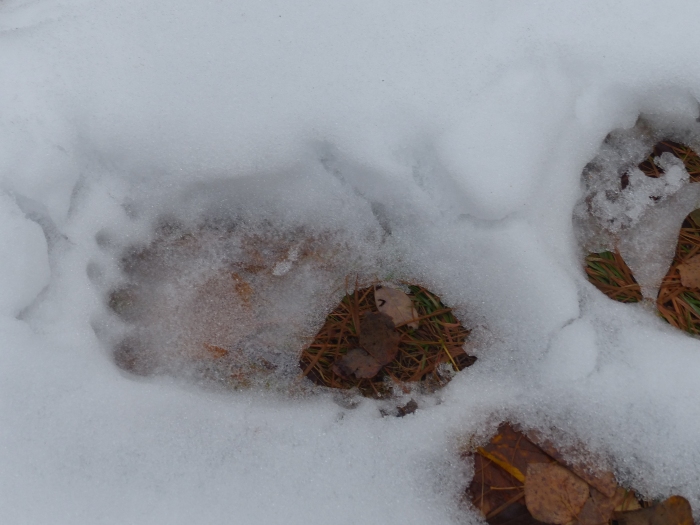
Bear footprint
Bear footprint

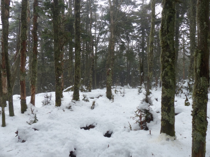
We followed the logging road as far as we could but eventually had to go into the woods and bushwhack up to the summit of Gore. It wasn’t bad except the snow made it slippery and hard to tell what you were putting your feet into. It took us almost 3 hours but we made it to the viewless summit and signed in to the register and had our PBJs.
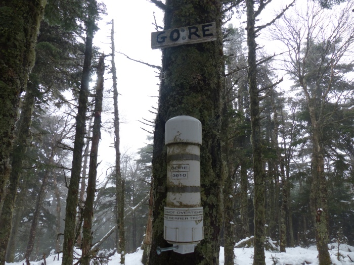
Gore summit cannister
Gore summit canister
6 to 8 inches of snow on Gore

We left the summit and started the trek over to Blue. We ran into some thick patches and some really bad patches of blowdowns that we tried to avoid but finally had to make our through them. There was lots of signs of moose activity with many tracks and large piles of poop.

Moose bedroom and bathroom

About a half mile from the summit we started following a moose path that went in the general direction we were going and it took us right to the summit. Saved us a lot of time and effort of crashing through the blowdowns.

Me on the summit of Blue

We had another PBJ and then headed down to the logging road we had come up. We hoped to avoid the beaver area and we succeeded in doing that. We saw some more moose activity but not as much as between Gore and Blue.
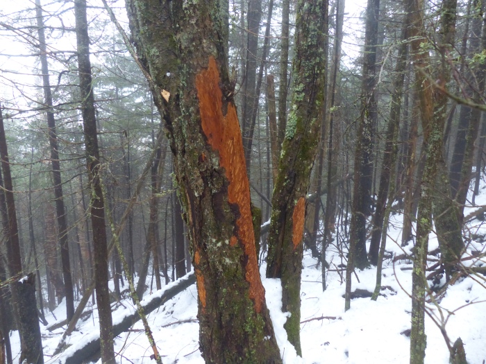
Moose antler rubbing

After reaching the logging road we quickly made our way back to the car and fortunately made it back before dark. Only 12 more peaks to go to finish the New Hampshire 100 Highest.
Mt. Muise

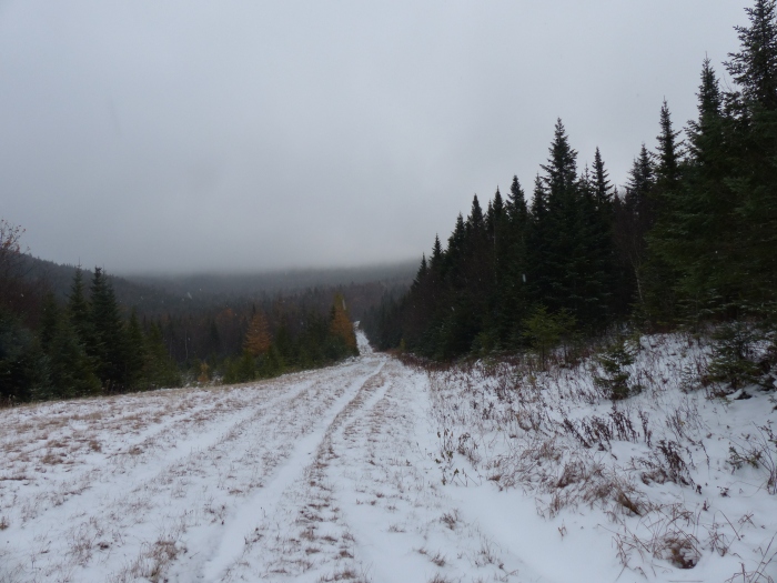
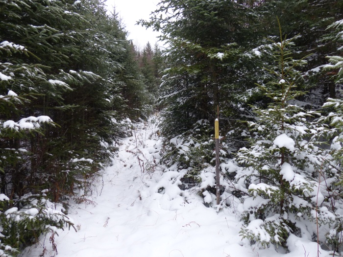
Hiked Mt. Muise on 10/25/16 with Bill and Diane Schor. It was a cloudy day with a few snow showers and temps in the high 20s and low 30s. Muise is located off Nash Stream Road north of the town of Stark. We were able to drive about a mile further on the road than we anticipated as the gate was open. That made the hike about 2 miles shorter than we planned. We still had to walk about a mile along Nash Stream Road and then a short distance on the Cohos trail before we started our bushwhack.

Snow covered Nash Stream Road
Cohos trail marked with yellow blazes

Once we started the bushwhack it was pretty open forest, there was one short section where it was sort of thick spruce and steep and one short section of really awful thick spruce. For the most part though it was a really nice bushwhack.

Open forest for bushwhacking

We reached the summit about 11:15 but didn’t linger very long. There weren’t any views and it was cold and windy so all we did was sign the register and head back down.

Me on the summit
Me on the summit

It was nice having snow on the ground as we didn’t have to follow a compass bearing to return, just follow our tracks. We ate our PBJs in the warm car on the way home. Only 14 peaks left to finish the New Hampshire 100 Highest.
Middle and South Hitchcock

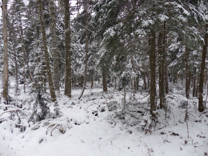
Hiked Middle and South Hitchcock on 10/19/2016 with Bill Schor and Bill Cronin. It was a bright sunny day with temps in the 50s and low 60s, kind of warm for a bushwhack. We started out on the Discovery trail off the Kancamaugus Highway and then followed an old logging road until its end where we started the bushwhack.

Bill C in the parking lot
Logging road with a few blowdowns

We slowly went uphill toward the summit of South Hitchcock and then it got quite steep for a short distance and then we came out in a flat area to the west of the summit.

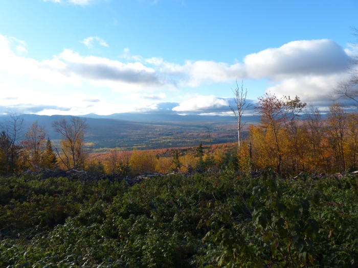
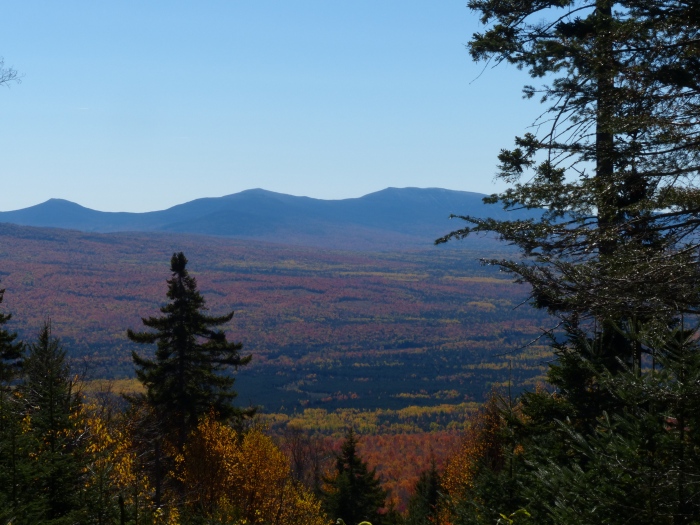
View before the summit of Scar Ridge
View of Scar Ridge

We turned east to find the summit slightly uphill from where we entered the flat area. We signed in at the canister and had a snack before heading over to Middle Hitchcock.

South Hitchcock canister

There were a few blowdowns on the way over to Middle Hitchcock but it was basically an easy hike. We reached the summit and signed in and ate our PBJs.

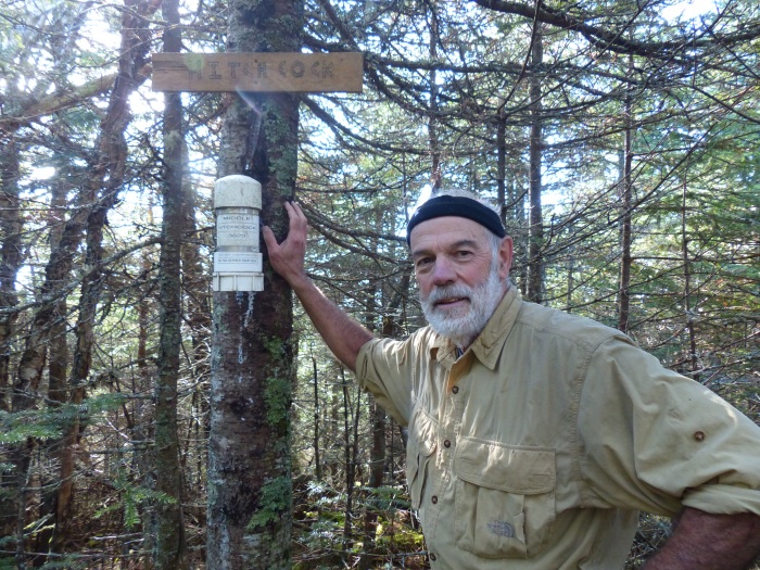
Me on Middle Hitchcock
Bill C signing us in to the log

We left the summit heading west before dropping down to avoid a cliff area. In retrospect we should have returned to the low spot between Middle and South and gone down the same way we came up. We spent 5 hours coming down and doing lots of ups and downs that could have been avoided if we had returned the same way we came up. There was some nice foliage on the way down.

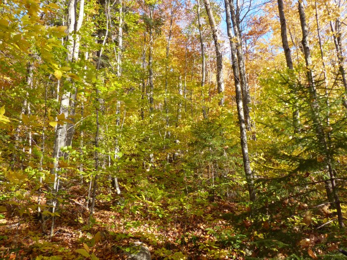
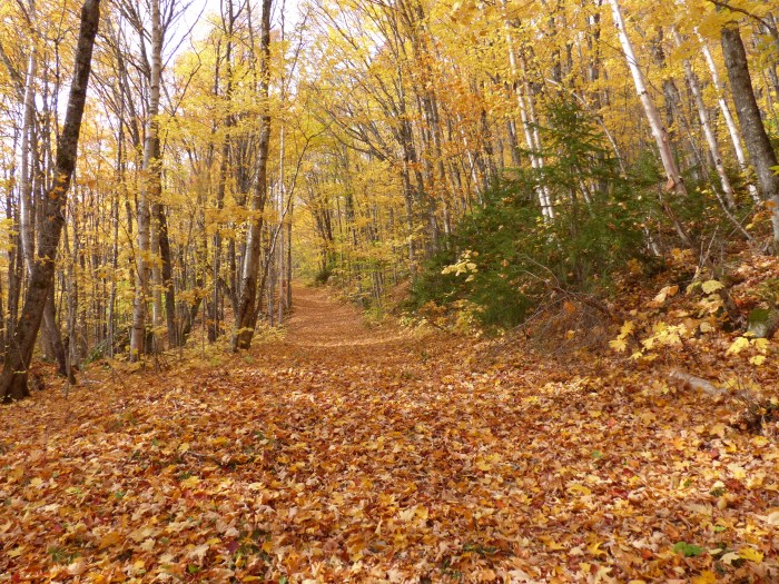
Some nice colorful leaves

We got to the parking lot later than planned but it was still a good day. Only 15 peaks left to finish the New Hampshire 100 Highest.

East Kennebago

Hiked East Kennebago on 10/14/2016 with Bill and Diane Schor. The weather was quite cool in the morning (34) with a few clouds but it cleared up very nicely. We were on the trail before 8 as Diane needed to get home to bake a Whoopee Pie cake. Again we followed almost 5 miles of pretty rough logging roads to get to the start of the hike.

View from where we parked

We followed an ATV trail for about a mile before turning on to a herd path for the half mile climb to the summit. The path was steep in a few places but not too bad and far better than having to bushwhack through the fairly thick woods.

Bill approaching the summit

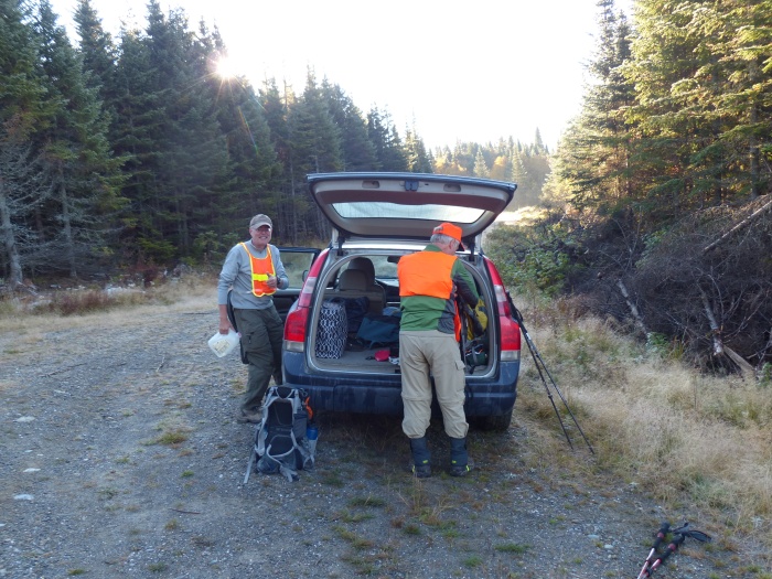
It was moose hunting season so Bill had some orange on, Diane and I had forgotten our orange colors. We reached the summit after only an hour and 20 minutes of hiking.

Bill and Diane at the summit canister

This was Bills final summit for completing the New England 100 Highest peaks, congratulations to him. I only need 20 more peaks to finish the New England 100 Highest. We ate our PBJs in the car on the long drive home.
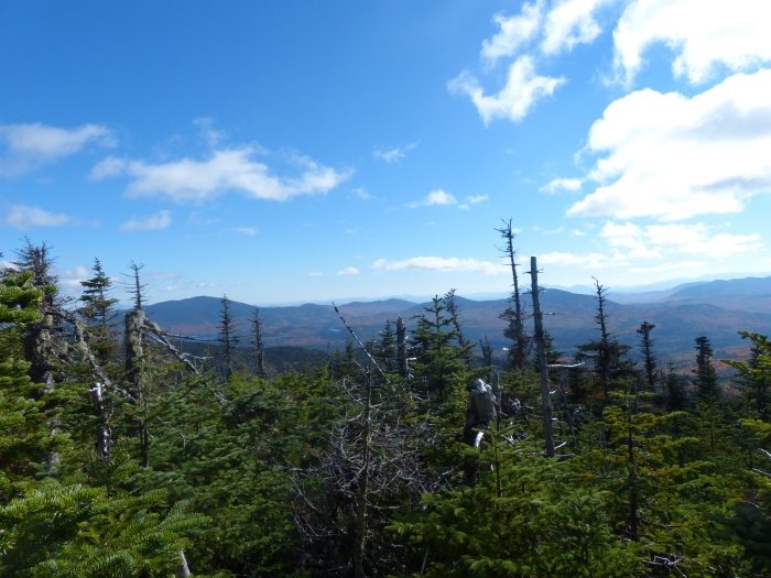
A final view from near the parking area

Snow (Chain of Ponds)

Hiked Snow (Chain of Ponds) on 10/13/2016 with Bill and Diane Schor. This is another peak in far northern Maine near the Canadian border. We drove up in the morning so didn’t get started hiking until 10:45. The weather was good with showers predicted in late afternoon. We followed logging roads for about 5 miles to get to the start of the hike.

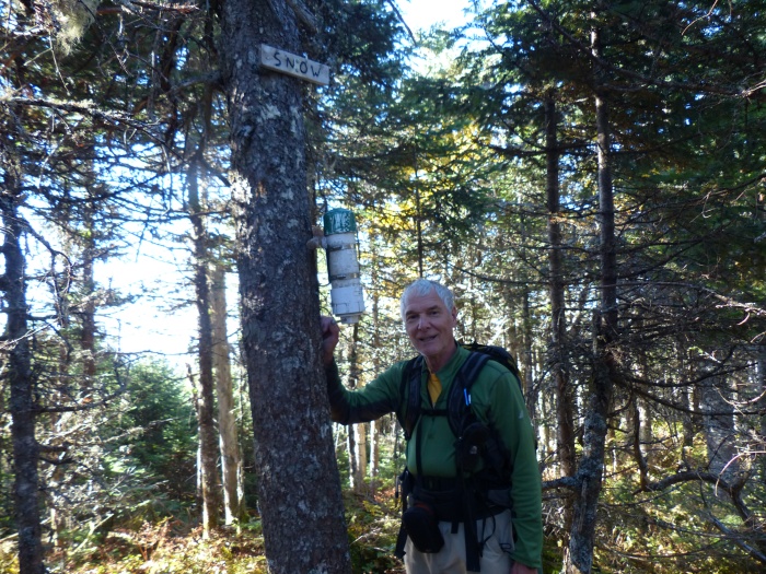
Start of the trail up Snow (Chain of Ponds)

We followed logging roads for quite a while with specific directions on where to turn. Fortunately it has been dry for quite a while as there looked to be the potential for a lot of mud in quite a few places.

Lots of leaves on the tail
Final turn off logging road to the hers path

The herd path to the summit was in very good shape and probably better than some of the maintained trails in the White Mountains of New Hampshire. We ate our PBJs here since we had gotten a late start.

Bill and Diane on a steep part
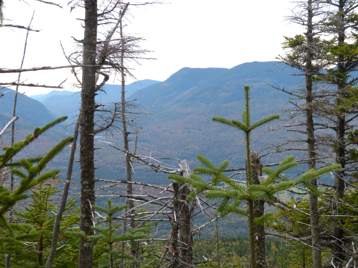
View from near the summit

We reached the summit pretty quickly and were surprised by the amount of artifacts on the summit.

Summit sign in and chair
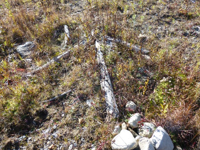
Shelter remains
Shelter remains
Fire tower remains
Fire tower remains

The land is owned by the Penobscot Indian tribe and I assume they are responsible for any maintenance that needs to be done. We made our way back to the car and drove to Stratton where we were spending the night. The showers held off until after we were at the motel. Only 21 peaks left to finish the New England 100 Highest. Bill only needs 1.

Snow (Cupsuptic)

Hiked Snow (Cupsuptic) on 10/7/2016 with Bill Schor. It was another perfect day for hiking. There are 2 peaks in Maine called Snow that are on the list one is Cupsuptic and the other is Chain of Lakes. We started right from our campsite on a logging road that we followed for a while and eventually to a herd path that took us directly to the top.

The early morning view at the start
View on the way up
View on the way up
An arrow to show the way

It took us a little over an hour to reach the summit and it was very pleasant walk. We signed in at the canister and then turned around and walked back down.

Bill at the canister

We ate our PBJs on the long drive home. Only 22 peaks left to finish the New England 100 Highest. Bill only has 2 left which we hope to do next week.


Boundary Peak, Whitecap and North Kennebago

Hiked Boundary Peak, Whitecap and North Kennebago on 10/6/2016 with Bill Schor and Per Frost. It was a perfect hiking day with bright blue skies, cool temps and a little bit of a breeze. These 3 peaks are in northern Maine very near the US Canada border. Boundary Peak is on the border and requires walking along the border but no passport is needed as long as you don’t stray too far into Canada. We drove up the day before and after navigating 17 miles of dirt logging roads set up camp at the trailhead for Snow (Cupsuptic) which was Fridays hike. We spent a somewhat chilly night in the tent and got up at 6:20 AM to get an early start for the long hike.

Our home for 2 nights
The early morning view from our campsite

We had to drive 8 miles on more logging roads to get to the start of our hike. There are a surprising number of roads and you really have to do some prehike planning to figure out how to get to where you need to be.

Start of the hike
Start of the hike

We wore hunter orange vests as it was moose hunting season in Canada and the border seems to be a very popular place for hunting. We followed an ATV trail from the logging road up to the border and then turned north and followed the border for 5 miles to Boundary Peak. The border is cleared and not hard to walk on but there was a lot of elevation gain and loss before we got to the peak that counted.

Monument that marks the border

There were many tree stands that the hunters wait in  while hoping to get a moose. They also put out large salt licks to attract them, doesn’t really seem fair. There weren’t any tree stands on the US side of the border.

One of many tree stands for hunting
Salt lick
Salt lick

There were many good views along the boundary and the foliage was at peak color.

View looking into Canada
Boundary Peak
Boundary Peak
Monument near Boundary Peak with a date of 1842 when the boundary was cleared

We reached the peak after 2.5 hours of hiking along the boundary with many steps in Canada as the trail wound around the cleared area.

Canister on Boundary Peak, Panther might be the Canadian name
View from Boundary Peak

From Boundary Peak we walked back 3 miles to the start of the bushwhack over to Whitecap. We ate our PBJs at the start of the bushwhack which was about a mile long.

Start of bushwhack to Whitecap which is in the distance

It took us about an hour to get there and wasn’t a very difficult walk.

Per on Whitecap
Per on Whitecap

We thought there was herd path from Whitecap over to North Kennebago but we couldn’t find it so it turned into about a 1.5 mile bushwhack down Whitecap and up North Kennebago. It took us about 1.5 hours since there was some thick spruce areas.

Bill and Per on North Kennebago

We then bushwhacked back to the car and drove back to our campsite where Bill grilled up some sausage and hamburgers which we ate in the cold.

Bill grilling
Bill grilling

We cleaned everything up and went to bed at 7 PM since it was cold and dark. Only 23 peaks left to finish the New England 100 Highest.
 

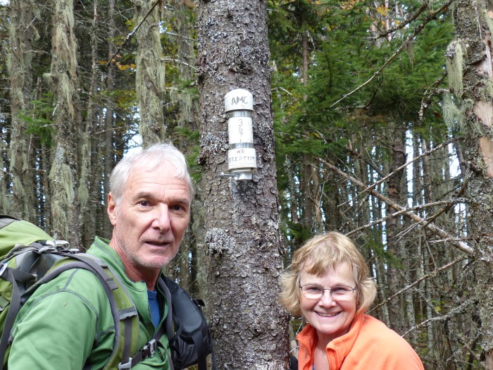
Mt. Deception
Hiked Mt. Deception on 9/30/2016 with Bill and Diane Schor. It was another nice day with cool temps to start. We parked at campsite number 7 on Cherry Mountain Road and started the bushwhack to West Deception. It doesn’t count on the list but it has good views and is only a half mile from the true summit. The route was pretty easy at first with lots of mushrooms.

Mushrooms on the way to West Deception
Diane making her way through the ferns

When walking through ferns you have to be careful where you put your feet as the holes, stumps and logs are hidden. Just before we got to the summit of West it got pretty steep and was slow going. We made it to the summit and were rewarded with some views that were partially blocked by some young trees. I ate my PBJ here.

Crawford Notch with a little fall foliage

We left the summit of West and made our way pretty easily to the true summit. The summit is pretty flat and it took us a few minutes to find the canister. We signed in and looked at the map to figure out a way down.

Bill and Diane at the summit
Trees on the summit
Trees on the summit

Leaving the summit we had to make our way through a lot of closely spaced trees and then we encountered a 20 foot cliff that we were able to zig zag down.

Diane coming down the cliff

After the cliff it was an easy walk back to the car. Only 17 peaks left to finish the New Hampshire 100 Highest.