Trails near Hanover, NH

Hiked a couple of sections of trails that make up the Appalachian Trail (AT) near Hanover, NH and some side trails on 2/15/2016. The weather was forecast to be cold but warming up to the 20s with a sunny start and a chance of snow showers in the late afternoon. I started hiking about 9AM and it was -2F but with no wind it was pretty comfortable. I started on the Moose Mt. Trail which is part of the AT, I then branched off on the Fred Harris trail which goes to the Dartmouth College Class of 66 Lodge which is open in the winter but there wasn’t anyone around.

Stream bridge on Moose Mt. trail
Dartmouth College Class of 66 Lodge

Behind the Lodge the Nat Thompson trail climbs gently up to the south summit of Moose Mt. and the Moose Mt. trail.

South summit of Moose Mt.
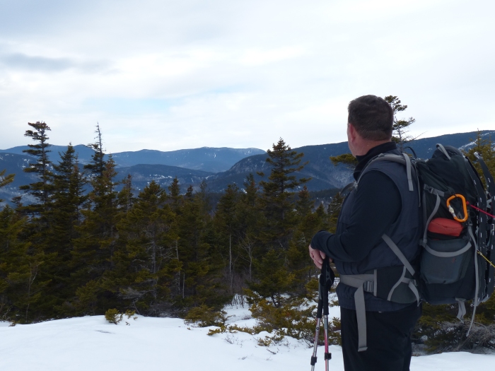
View from the south summit of Moose Mt.

From the summit I headed north for one half mile to where the trail crosses Wolfeboro Road where I turned around and went back over the south summit and then followed Moose Mt. trail back to the car where I ate my PBJ in the warmth of the car.

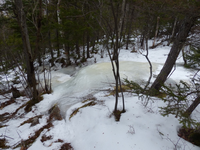
Icy stream on Moose Mt. trail

After lunch I hiked south on the Hanover Center trail through some nice forests and fields to Hanover Center Road which was the end of the hike.

Old stonewall along the trail
Hanover Center trail through an old field

It was a good day for a hike without much snow and it warmed up to 21F. Only 60.2 miles left to finish.

Blueberry Ridge and Bickford Brook Trails

Hiked Blueberry Ridge and Bickford Brook trails on 1/31/16 with Mike and Karen Lynch. It was my first hike since knee surgery in November and it went well with no ill effects, in fact my knee felt better the next morning than it had in a long time. The trails are in Evans Notch and you have to walk a 1/4 mile section of Rt 113 that isn’t plowed in winter to get to the trail head at Brickett Place. There was quite a bit of beaver activity in the stream that Rt 113 crosses over to get to the start of the trail.

Beaver activity along RT 113 in Evans Notch

We went up the Blueberry Ridge trail as that was the steepest part of the hike and it’s always easier to go up the steep part than to come down it. Good thing we went that way as the steep part had quite a bit of ice. We went up beside the trail where there wasn’t any ice.

Ice on the Blueberry Ridge trail

Once you reach the top of the ridge there is a loop trail where there are excellent views.

North and South Baldface from Blueberry Ridge

We continued on up the trail through the woods with the occasional view from open ledges.

Mike admiring the view
Washington off in the distance

We continued up to the junction with the Bickford Brook trail where we ate our PBJs and some brownies courtesy of Karen (they were very good). Coming down Bickford Brook there weren’t any steep sections and it was a very smooth hike. There was some evidence of wildlife with moose tracks and maybe bear tracks and we scared up several partridges. The most obvious signs were from red squirrels eating pine cones.

Eidence of red squirrels eating
Evidence of red squirrels eating
Mike and Karen on the way down

It was a good hike and there are only 66.7 miles left to complete.