Scar Ridge East, West and Middle

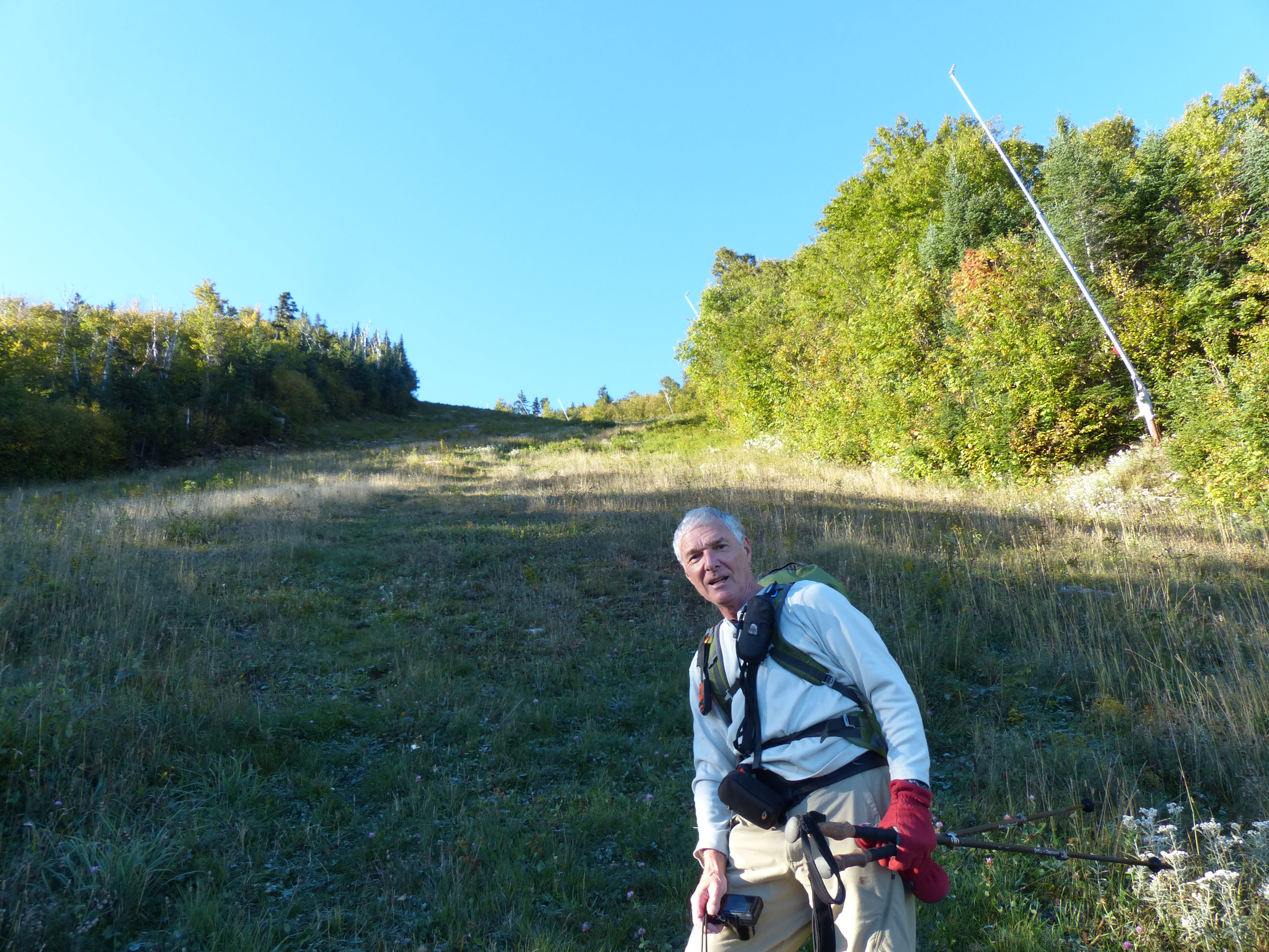
Hiked Scar Ridge on 9/26/2016 with Bill Schor. Included were the three peaks which were West, Middle and East. All three are on the New Hampshire 100 Highest and West is on the New England 100 Highest. The weather was perfect, bright and sunny with the temp at 34 degrees at the start. We started by hiking a very steep ski trail on Loon Mountain where there were good views and the only views of the day.

Bill on the steep portion of the ski trail
Looking towards Franconia Ridge
Mt. Washington from ski trail

Then we took an unmaintained trail over towards Black Mountain. At .6 miles on this trail we started the bushwhack to West Scar Ridge.

Start of bushwhack up West Scar

We were able to follow a path of sorts up to the summit, losing it every now and then but then finding it. We finally got to the summit and ate half a PBJ and a cookie.

Summit of of West Scar
Summit of West Scar

The hike over to Middle was a pretty steep down and then a pretty steep up with some thick sections of spruce and a few blowdowns to make things interesting. No views from the top. Ate a full PBJ on the summit.

Bill on the summit of Middle

The hike over to East was horrendous with very thick spruce and many blowdowns. At times we were 2-3 feet off the ground on blowdowns trying to force our way through unforgiving spruce. Once in the area of the summit it took us 45 minutes to find the canister. It was hard work. Ate 2 cookies at the summit and then took off to find the East Pond trail.

The summit of East
The summit of East

The first bit of hiking down to the trail was pretty bad but eventually became more reasonable. We reached the East Pond trail at about 6:40 PM and we still had 2.5 miles to hike out to the parking lot. We had to put on our headlamps to finish but we made it after hiking for more than 12 hours. Only 18 peaks left for the New Hampshire 100 Highest and 26 for the New England 100 Highest.

Mt. Kancamagus

Hiked Mt. Kancamagus on 9/22/2016 with Bill Schor. The weather was perfect, cool in the morning with bright blue skies. We hiked 2 miles up the Livermore trail across from Lily Pond on the Kanc.

Start of the hike at the Livermore trail

We hiked up to Livermore Pass to start the bushwack.

Livermore Pass
Livermore Pass

It was 1.3 miles to the summit of Kancamagus through mostly open woods. There weren’t any really thick or steep parts. About a quarter mile from the summit we were able to follow an old path that went right to the summit.

Bill at the summit cannister
Bill at the summit canister

The last visitor to the summit was on 8/22 and then all the way back to March. Not a lot of visitors here even though it’s a pretty easy bushwhack. We ate our PBJs on the summit and made our way back to the trail on a slightly different route that was easier than the way up. We came out on the trail about 500 feet from where we started.

Grassy clearing where we came back to the trail

Only 21 peaks left to finish the New Hampshire 100 highest.

Lowell and Anderson

Hiked Lowell and Anderson on 9/4/2016 with Bill Schor and Bill Cronin. The weather was perfect, started out around fifty and warmed up to maybe 70 with clear skies. This was probably the hardest bushwhack I’ve done to date although it started out easy. We started up the Signal Ridge trail and then turned off onto an old logging road which we followed for a short distance. Then we started the real bushwhack through some nice open forest. It slowly got steeper and the spruce got thicker and thicker. It took us an hour and a half to hike the last .6 miles.

Cliffs on Lowell from Signal Ridge on a previous hike

We hiked up the long ridge that extends to the right from the summit.

Bill S coming through the spruce
Summit canister and moose antler on Lowell

The previous entry in the summit log was from February, not too many visitors to this peak. We ate our PBJs on Lowell and figured out the route to get over to Anderson. We left the summit and came to an open spot with great views in many directions.

The Bills admiring the view
Signal Ridge, Carrigain and Vose Spur
Washington off in the distance on the right

It took us 3 hours to go the mile between Lowell and Anderson. It was very steep and thick going down Lowell and even worse going up Anderson. At times I felt like I was hanging on by fingernails. But we made it to the summit although the name and elevation were missing from the canister. The most recent visitor here was also back in February.

Summit canister on Anderson
Bill C signing us in on Anderson

We bushwhacked down to the Carrigain Notch trail avoiding the cliffs but not the thick spruce.

Cliffs on Anderson from Carrigain Notch trail

We got back to the parking lot 11.5 hours after we started. It was a long tough day but there only 22 peaks left to complete the New Hampshire 100 highest.

GPS track of our hike courtesy of Bill Schor