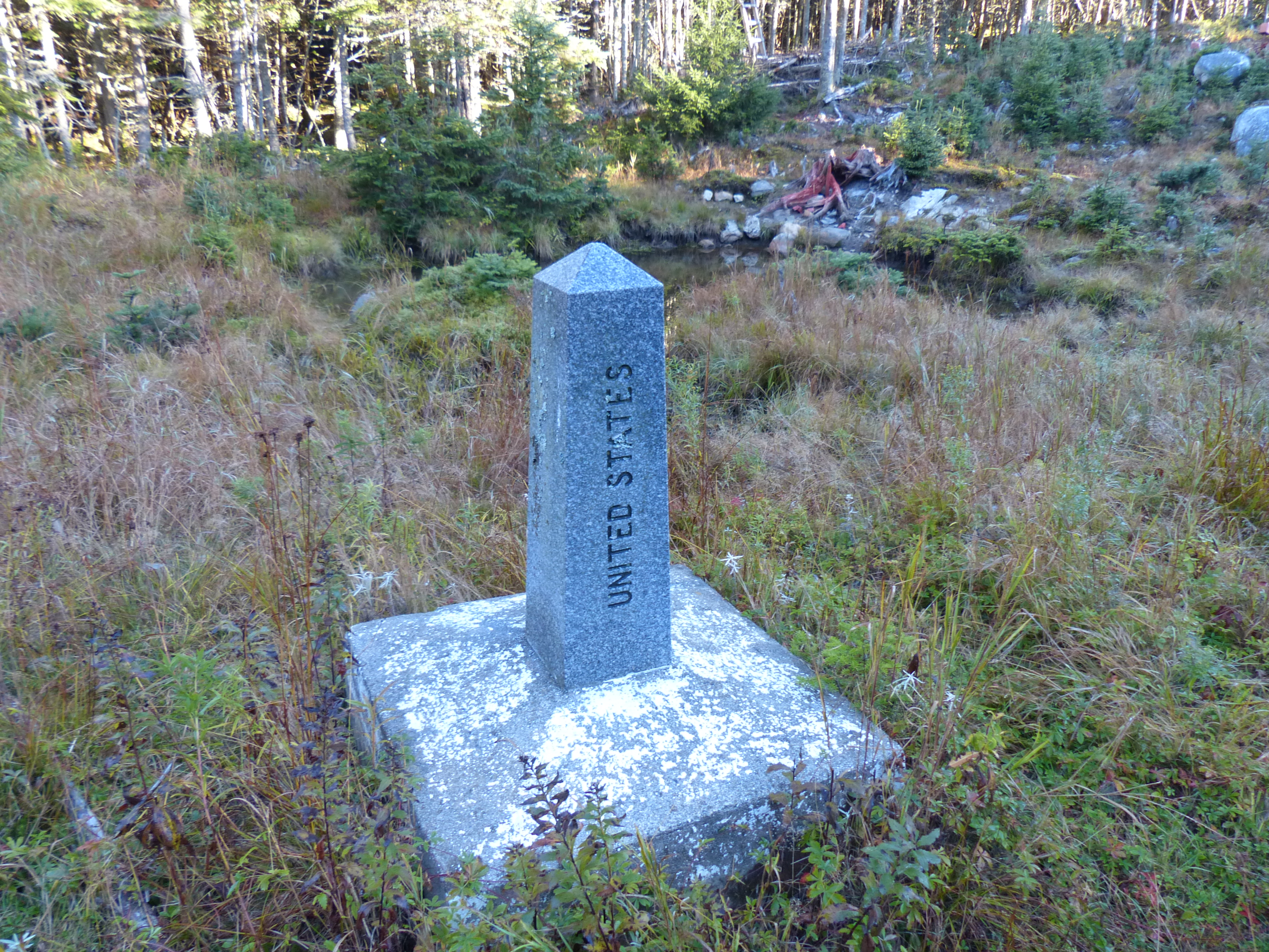
Hiked Boundary Peak, Whitecap and North Kennebago on 10/6/2016 with Bill Schor and Per Frost. It was a perfect hiking day with bright blue skies, cool temps and a little bit of a breeze. These 3 peaks are in northern Maine very near the US Canada border. Boundary Peak is on the border and requires walking along the border but no passport is needed as long as you don’t stray too far into Canada. We drove up the day before and after navigating 17 miles of dirt logging roads set up camp at the trailhead for Snow (Cupsuptic) which was Fridays hike. We spent a somewhat chilly night in the tent and got up at 6:20 AM to get an early start for the long hike.


We had to drive 8 miles on more logging roads to get to the start of our hike. There are a surprising number of roads and you really have to do some prehike planning to figure out how to get to where you need to be.

We wore hunter orange vests as it was moose hunting season in Canada and the border seems to be a very popular place for hunting. We followed an ATV trail from the logging road up to the border and then turned north and followed the border for 5 miles to Boundary Peak. The border is cleared and not hard to walk on but there was a lot of elevation gain and loss before we got to the peak that counted.
There were many tree stands that the hunters wait in while hoping to get a moose. They also put out large salt licks to attract them, doesn’t really seem fair. There weren’t any tree stands on the US side of the border.


There were many good views along the boundary and the foliage was at peak color.

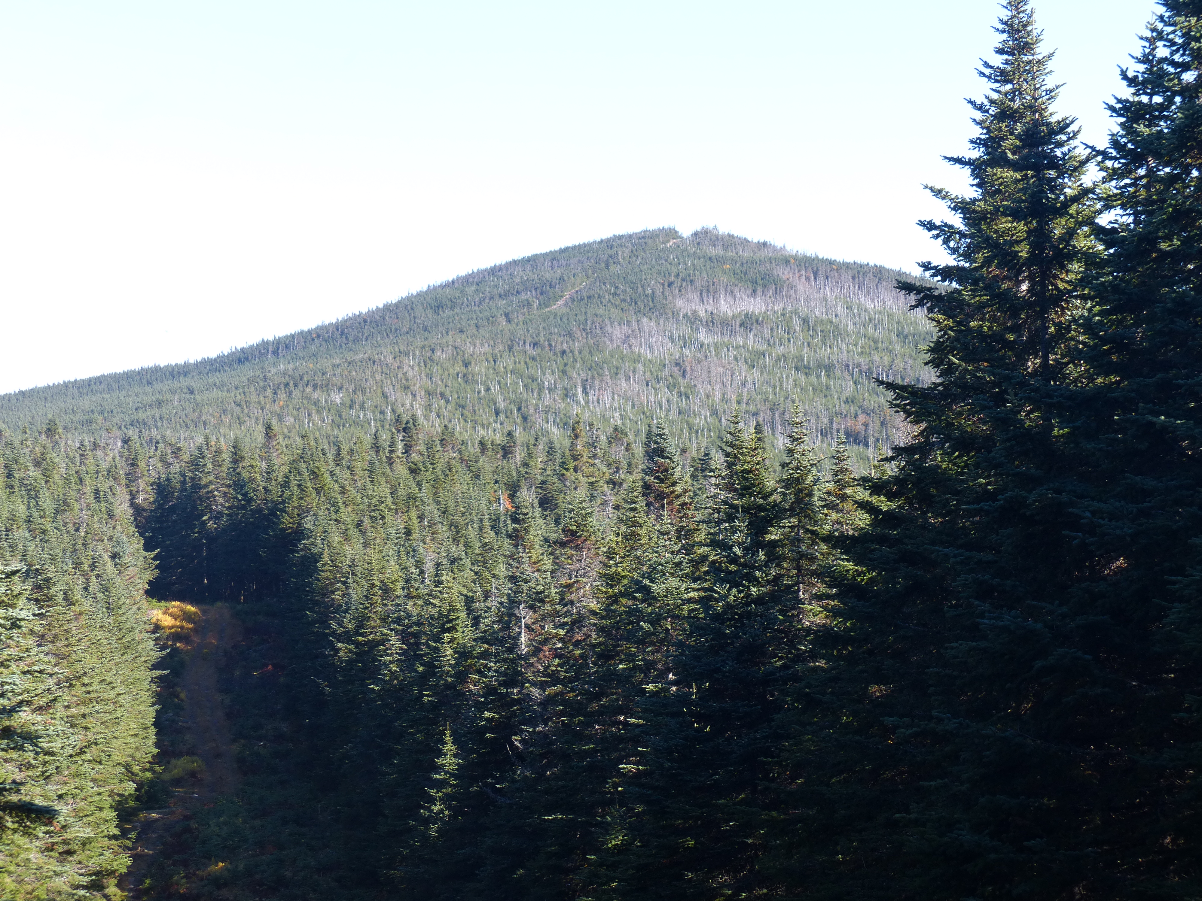

We reached the peak after 2.5 hours of hiking along the boundary with many steps in Canada as the trail wound around the cleared area.


From Boundary Peak we walked back 3 miles to the start of the bushwhack over to Whitecap. We ate our PBJs at the start of the bushwhack which was about a mile long.

It took us about an hour to get there and wasn’t a very difficult walk.

We thought there was herd path from Whitecap over to North Kennebago but we couldn’t find it so it turned into about a 1.5 mile bushwhack down Whitecap and up North Kennebago. It took us about 1.5 hours since there was some thick spruce areas.

We then bushwhacked back to the car and drove back to our campsite where Bill grilled up some sausage and hamburgers which we ate in the cold.

We cleaned everything up and went to bed at 7 PM since it was cold and dark. Only 23 peaks left to finish the New England 100 Highest.
